
TL;DR

Get comfort and recovery gear delivered free with Prime
- Fast, free delivery on millions of items
- Prime Video, Amazon Music and more included
- Member-only deals all year
CoMaps, an offline navigation app, was used by rescue teams in Venezuela to coordinate efforts without cellular signal. The app’s success underscores the importance of offline tools in crisis zones. Details about deployment specifics remain limited.
CoMaps, an offline mapping application, was successfully used by rescue teams in Venezuela to navigate and coordinate efforts without cellular signal, during a recent crisis. The deployment of the app highlights the crucial role of offline tools in emergency response, especially in regions with poor connectivity. This development marks a significant advancement in crisis management technology, with potential implications for future disaster responses worldwide.
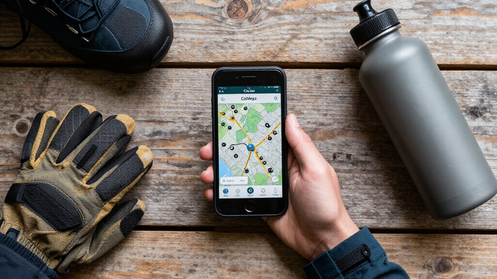
According to sources involved in the rescue operations, CoMaps was employed by teams operating in remote and signal-deprived areas of Venezuela during the recent emergency. The app provided detailed offline maps, route planning, and real-time coordination capabilities, enabling responders to navigate challenging terrain without relying on internet connectivity.
Officials from the Venezuelan disaster response agency confirmed that the app was instrumental in locating affected communities and coordinating rescue efforts efficiently. The use of CoMaps was facilitated through pre-downloaded maps and data packs, which allowed teams to work seamlessly even when cellular networks were down or unreliable.
While the app’s deployment was a notable success, details about the scale of its use, the number of teams involved, and the specific technical setup remain limited. Experts suggest that the experience could serve as a model for future crisis response strategies in similar environments.
The successful use of CoMaps in Venezuela underscores the growing importance of offline navigation tools in disaster management. In regions where cellular networks are often disrupted during crises, such technology can be vital for coordinating rescue efforts, saving lives, and reducing response times. The incident demonstrates that investing in reliable offline solutions can enhance resilience and operational effectiveness in emergency scenarios, potentially transforming standard protocols globally.
As an affiliate, we earn on qualifying purchases.
Venezuela’s Connectivity Challenges in Disaster Situations
Venezuela has faced ongoing infrastructure issues, including unreliable cellular networks, especially in remote or disaster-affected areas. Past emergencies have shown that responders often struggle with navigation and coordination due to these connectivity problems. The recent crisis, which involved widespread flooding and infrastructure damage, highlighted the critical need for offline tools. Prior efforts to improve emergency response have included basic paper maps and radio communication, but these methods are limited in scope and effectiveness. The deployment of CoMaps represents a technological shift aimed at overcoming these longstanding challenges.
“CoMaps proved to be a game-changer in our recent operations, allowing teams to navigate effectively without relying on unreliable networks.”
— Venezuelan disaster response official
As an affiliate, we earn on qualifying purchases.
Limitations and Technical Challenges of CoMaps Deployment
Details about the full scale of CoMaps’ deployment, including how many rescue teams used it and the extent of its integration into official response protocols, remain unclear. Additionally, questions about the app’s performance in the most challenging terrains and its ease of use by non-technical responders are still unanswered. There is also limited information on whether the app was used in coordination with other technologies or manual methods, and how it performed compared to traditional navigation tools.
offline mapping device for disaster response
As an affiliate, we earn on qualifying purchases.
As an affiliate, we earn on qualifying purchases.
Future Integration and Evaluation of Offline Rescue Tools
Authorities and tech developers plan to assess the effectiveness of CoMaps and similar offline tools through detailed reviews and field tests. Discussions are underway to expand the app’s deployment across other regions prone to connectivity issues and in different types of emergencies. There is also interest in integrating CoMaps with other emergency management systems, including satellite communication and drone-based mapping, to further enhance resilience. The next steps include formal evaluations, user training programs, and potential upgrades based on user feedback and technological advancements.
As an affiliate, we earn on qualifying purchases.
Key Questions
How does CoMaps work without an internet connection?
CoMaps uses pre-downloaded maps and data packs, allowing users to navigate and coordinate offline. It relies on GPS signals and stored information rather than live internet access.
Was CoMaps used in other recent emergencies outside Venezuela?
There are no publicly available reports of CoMaps being used outside Venezuela yet, but developers are exploring expanded deployment in other regions with similar connectivity challenges.
Offline apps enable rescue teams to operate independently of cellular networks, maintain accurate navigation, and coordinate efforts more effectively in areas where infrastructure is damaged or unavailable.
Are there any limitations to using CoMaps in the field?
Potential limitations include the need for prior map downloads, possible difficulties in updating maps during ongoing crises, and the requirement for GPS signals, which can be obstructed in certain terrains or environments.
Will CoMaps be integrated into official emergency response protocols?
Officials are considering further integration, but formal adoption depends on comprehensive evaluations and field testing outcomes in diverse emergency scenarios.
Source: fediverse
Halloween Picks
halloween
As an affiliate, we earn on qualifying purchases.